
Advantus Laminated World Wall Map - 50" Width x 32" Height - Assorted - Laminated
Description
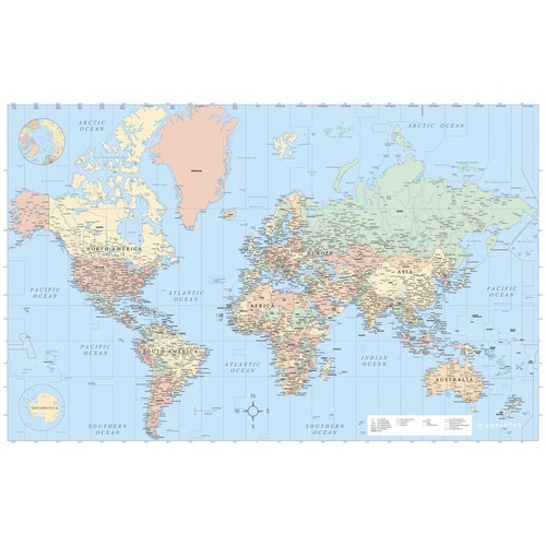
Wall world map is centered on Africa, allowing viewers to see continents complete and intact. Created using Mercator projection, it features major cities, roads and rivers, and country borders. It also highlights country names, U.S. states, Canadian provinces and lakes. Time zones are marked for easy planning and learning. Map includes a compass on the legend and is laminated for long-lasting use.
Specifications
UNSPSC Code
55101501
Weight
0.7lb
Height
1.75in
Width
1.75in
Length
34.25in
Brand
Advantus
Category
Maps, Flags & Globes